The Historic North
Aksum, Lalibela, Gondar, and the Simien — four World Heritage sites in one sweep of highland. Scroll — the map travels with you.
Aksum
The journey begins at the granite stelae of Aksum, capital of a kingdom that traded across the Red Sea world in the first millennium and left some of Africa's tallest monoliths. Inscribed on the World Heritage list in 1980.
Sources: UNESCO — Aksum
The road south
Between the old capitals the road climbs and falls across the Tigray and Amhara highlands — the plateau country, cut by gorges, that shaped every kingdom which ever tried to hold it.
Sources: Atlas terrain layer — OCHA COD-AB / Mapzen terrarium
Lalibela
Eleven churches hewn straight down into the rock in the thirteenth century, conceived as a New Jerusalem and still in daily worship. One of the first sites ever inscribed by UNESCO, in 1978.
Gondar
West across the highlands stands Fasil Ghebbi, the fortress-city of the seventeenth- and eighteenth-century emperors — castles, banqueting halls and baths in a walled royal enclosure. Inscribed in 1979.
Sources: UNESCO — Fasil Ghebbi, Gondar Region
The Simien Mountains
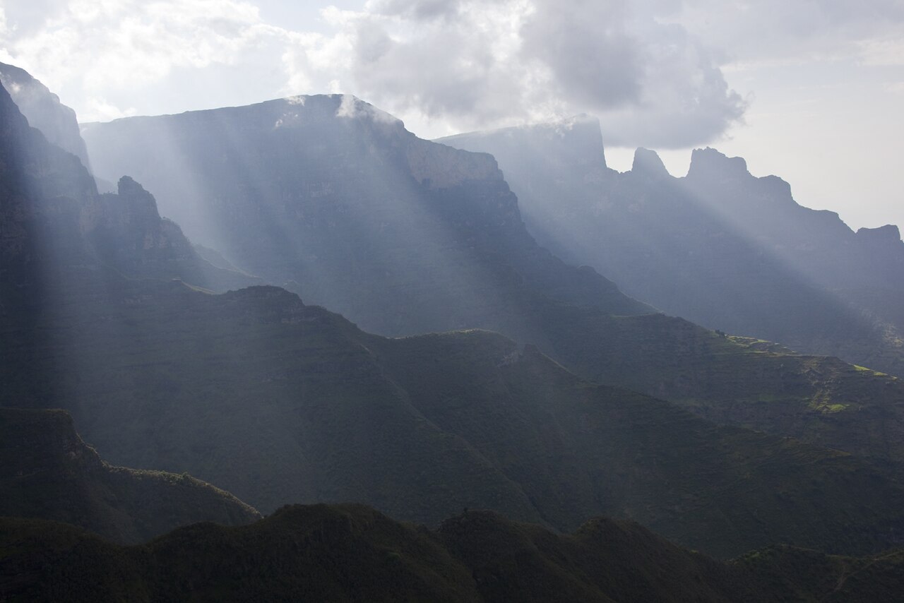
The sweep ends on the escarpments of the Simien — a national park of gorges and pinnacles rising to Ras Dejen at 4,533 metres, home of the walia ibex and the gelada. Inscribed in 1978, in UNESCO's very first class of sites.
Sources: UNESCO — Simien National Park