Down the Rift
Along the crack in the continent — from the southern lakes to the lowest, hottest place in Ethiopia. Scroll — the map travels with you.
A continent parting
The East African Rift System runs the length of Ethiopia — the slow tearing of the African plate that built the highlands' shoulders and dropped the valley floor between them.
The southern lakes
In the south the Rift floor holds a chain of lakes. Abaya and Chamo lie side by side below the Guge highlands, their shores among the most fertile country in the valley.
Sources: Atlas water layer — Natural Earth
The Awash
Northward the Rift carries the Awash, the great river of the valley floor. It never reaches the sea: it ends in the saline lakes of the Afar lowlands, watering some of the oldest hominid country on Earth along the way.
Sources: Britannica — Awash River
Erta Ale
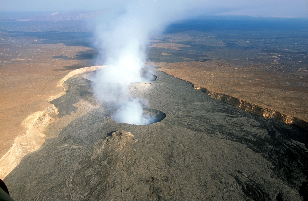
In the Danakil the Rift shows itself openly: Erta Ale, a shield volcano whose summit crater has held one of the world's rare persistent lava lakes across decades of observation.
The Danakil Depression
The journey ends more than a hundred metres below sea level, in one of the hottest inhabited places on Earth — salt flats, acid springs and mineral terraces where the Rift floor sinks toward the Red Sea it will one day meet.
Sources: Britannica — Denakil Plain