South West Ethiopia
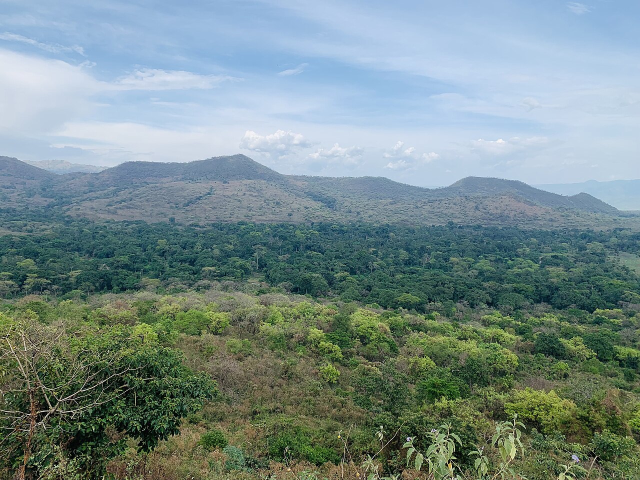
South West Ethiopia is a regional state of Ethiopia, covering 39,036 km² — 3.5% of the national territory, 7th of the 12 regional states by area. Its administrative centre is Bonga. Its projected 2022 population is 3,453,447 — about 88 people per km². It comprises 6 zones and 59 woredas (districts).
South West Ethiopia Peoples' Region, formed in 2021, covers some of the country's wettest highlands — the Kafa forests often cited as the original home of wild arabica coffee — descending to the Omo lowlands, where Chebera Churchura National Park shelters one of Ethiopia's largest elephant populations.
Sources: Britannica — Coffee production: history · EWCA — Chebera Churchura
Where South West Ethiopia sits in Ethiopia
Zones
View South West Ethiopia on the map →
Every figure on this page is computed from the OCHA COD-AB Ethiopia dataset (April 2026 release, CC BY 3.0 IGO). Richer geographic and historical profiles, with cited sources, arrive in Phase 2.