Somali
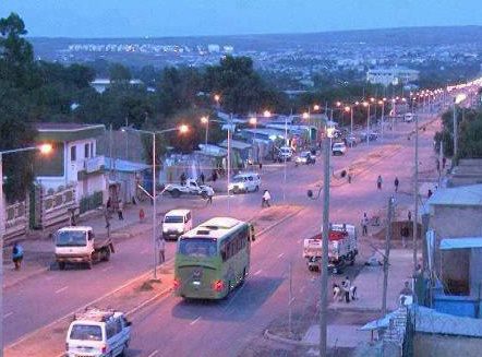
Somali is a regional state of Ethiopia, covering 311,105 km² — 27.5% of the national territory, 2nd of the 12 regional states by area. Its administrative centre is Jigjiga. Its projected 2022 population is 6,355,003 — about 20 people per km². It comprises 11 zones and 100 woredas (districts).
The Somali Region is Ethiopia's easternmost and second-largest state, a land of arid plains, seasonal rivers and pastoral economies stretching toward the Horn. The Shebelle and Genale rivers cross it toward the Indian Ocean basin, and its capital Jijiga sits in the highland fringe east of Harar.
Sources: Britannica — Ogaden
Where Somali sits in Ethiopia
Zones
Every figure on this page is computed from the OCHA COD-AB Ethiopia dataset (April 2026 release, CC BY 3.0 IGO). Richer geographic and historical profiles, with cited sources, arrive in Phase 2.