Oromia
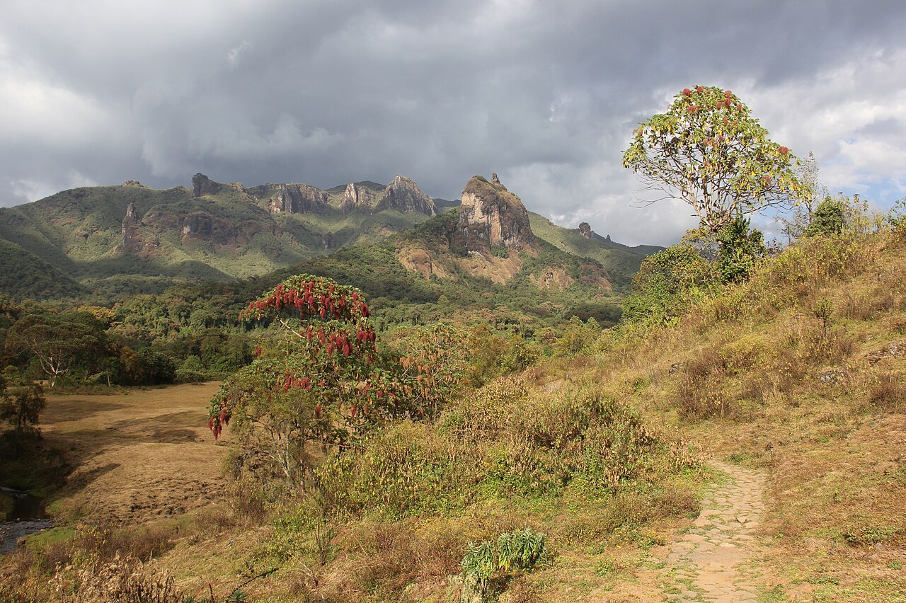
Oromia is a regional state of Ethiopia, covering 323,035 km² — 28.6% of the national territory, 1st of the 12 regional states by area. Its projected 2022 population is 39,075,002 — about 121 people per km². It comprises 22 zones and 349 woredas (districts). It contains 3 UNESCO World Heritage sites.
Oromia is the largest regional state, wrapping around Addis Ababa and stretching from the western coffee forests across the Rift Valley lakes to the Bale massif. Bale Mountains National Park — Africa's largest expanse of Afro-alpine moorland and a UNESCO World Heritage site since 2023 — protects the Ethiopian wolf and mountain nyala on the Sanetti Plateau.
Sources: Britannica — Oromo · UNESCO — Bale Mountains
Tef, the grain behind injera, grows in highland fields like these — Tef, Ethiopia’s grain →
Where Oromia sits in Ethiopia
World Heritage
Zones
Every figure on this page is computed from the OCHA COD-AB Ethiopia dataset (April 2026 release, CC BY 3.0 IGO). Richer geographic and historical profiles, with cited sources, arrive in Phase 2.