Gambela
Gambela is a regional state of Ethiopia, covering 31,246 km² — 2.8% of the national territory, 9th of the 12 regional states by area. Its administrative centre is Gambela. Its projected 2022 population is 492,002 — about 16 people per km². It comprises 4 zones and 15 woredas (districts).
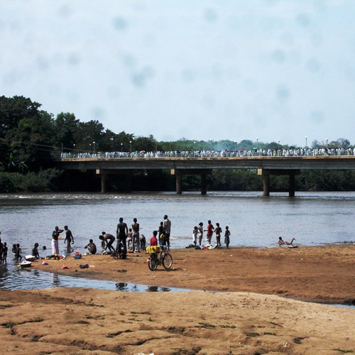
Gambela is a lowland region of rivers and wetlands on the South Sudanese border, drained by the Baro — Ethiopia's only substantially navigable river. Gambella National Park, the country's largest, lies within the seasonal floodplains that host one of Africa's great antelope migrations (the white-eared kob).
Sources: Britannica — Baro River
Where Gambela sits in Ethiopia
Zones
Every figure on this page is computed from the OCHA COD-AB Ethiopia dataset (April 2026 release, CC BY 3.0 IGO). Richer geographic and historical profiles, with cited sources, arrive in Phase 2.