Central Ethiopia
Central Ethiopia is a regional state of Ethiopia, covering 15,106 km² — 1.3% of the national territory, 10th of the 12 regional states by area. Its administrative centre is Hosaena. It comprises 10 zones and 69 woredas (districts).
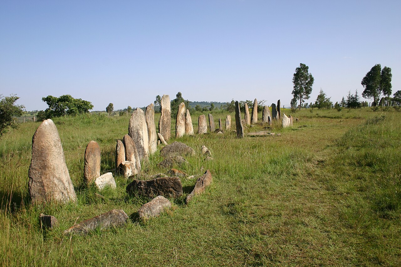
Central Ethiopia, formed in 2023 from part of the former Southern Nations region, gathers highland districts south-west of Addis Ababa. It includes the UNESCO-listed stelae field of Tiya, one of the most important of the megalithic monument clusters that dot central Ethiopia.
Sources: UNESCO — Tiya
Where Central Ethiopia sits in Ethiopia
The 2022 population projections predate this region's formation; no figure is shown rather than an estimate.
Zones
View Central Ethiopia on the map →
Every figure on this page is computed from the OCHA COD-AB Ethiopia dataset (April 2026 release, CC BY 3.0 IGO). Richer geographic and historical profiles, with cited sources, arrive in Phase 2.