Benishangul-Gumuz
Benishangul-Gumuz is a regional state of Ethiopia, covering 50,218 km² — 4.4% of the national territory, 5th of the 12 regional states by area. Its administrative centre is Assosa. Its projected 2022 population is 1,187,997 — about 24 people per km². It comprises 4 zones and 26 woredas (districts).
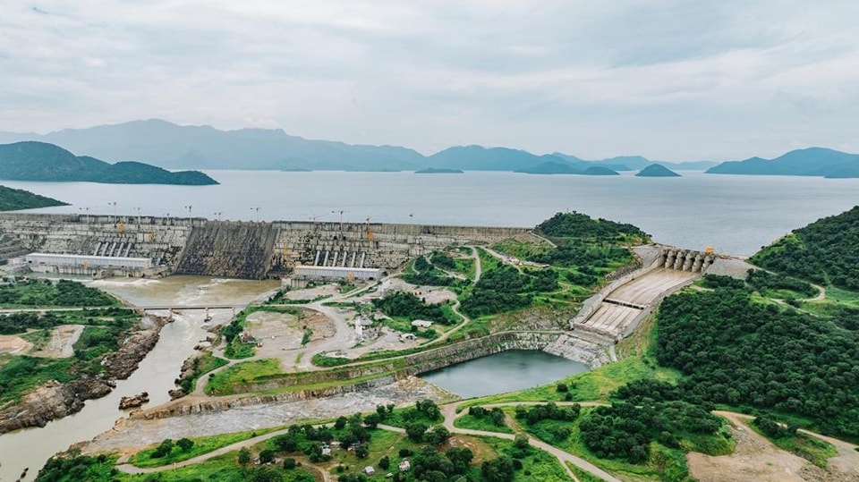
Benishangul-Gumuz lies along the Sudanese border where the Ethiopian highlands step down to lowland savanna. The Blue Nile (Abay) crosses the region on its way to Sudan, and since 2011 it has hosted the Grand Ethiopian Renaissance Dam, Africa's largest hydroelectric project.
Sources: Britannica — Blue Nile River
Where Benishangul-Gumuz sits in Ethiopia
Zones
View Benishangul-Gumuz on the map →
Every figure on this page is computed from the OCHA COD-AB Ethiopia dataset (April 2026 release, CC BY 3.0 IGO). Richer geographic and historical profiles, with cited sources, arrive in Phase 2.