Amhara
Amhara is a regional state of Ethiopia, covering 155,639 km² — 13.8% of the national territory, 3rd of the 12 regional states by area. Its administrative centre is Bahir Dar. Its projected 2022 population is 22,530,515 — about 145 people per km². It comprises 14 zones and 225 woredas (districts). It contains 3 UNESCO World Heritage sites.
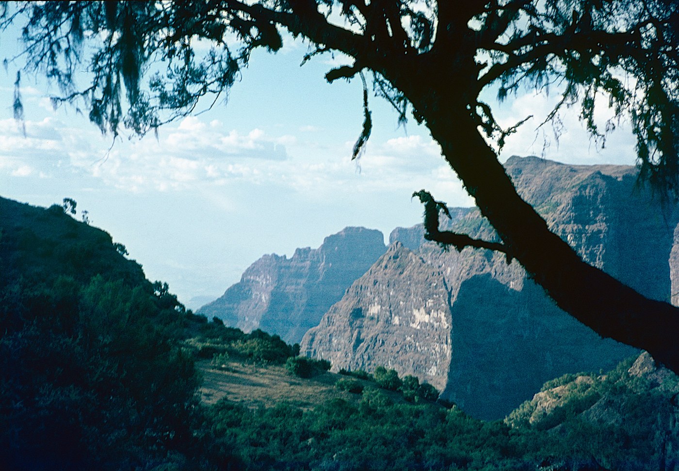
Amhara spans the central and north-western highlands around Lake Tana, source of the Blue Nile. It holds three of Ethiopia's World Heritage sites — the Simien Mountains, the rock-hewn churches of Lalibela, and Gondar's castle compound Fasil Ghebbi — and Ras Dejen, the country's highest summit, rises in its Simien range.
Sources: Britannica — Lake Tana · UNESCO — Simien National Park
Tef, the grain behind injera, grows in highland fields like these — Tef, Ethiopia’s grain →
Where Amhara sits in Ethiopia
World Heritage
Zones
Every figure on this page is computed from the OCHA COD-AB Ethiopia dataset (April 2026 release, CC BY 3.0 IGO). Richer geographic and historical profiles, with cited sources, arrive in Phase 2.