Afar
Afar is a regional state of Ethiopia, covering 94,889 km² — 8.4% of the national territory, 4th of the 12 regional states by area. Its administrative centre is Semera. Its projected 2022 population is 1,989,997 — about 21 people per km². It comprises 6 zones and 49 woredas (districts). It contains 1 UNESCO World Heritage site.
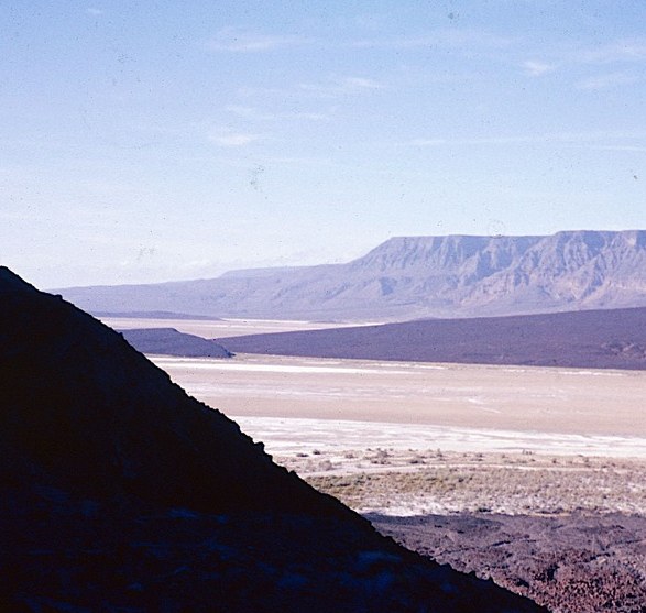
Afar occupies the Danakil Depression and the Awash valley in Ethiopia's north-east — one of the hottest and lowest places on Earth, where the Rift's volcanism shows itself at Erta Ale's lava lake and the acid springs of Dallol. The Lower Awash valley, a UNESCO World Heritage site, yielded the hominin fossils (including "Lucy"/Dinkinesh) that made the region central to the study of human origins.
Sources: Britannica — Denakil Plain · UNESCO — Lower Valley of the Awash
Where Afar sits in Ethiopia
World Heritage
Zones
Every figure on this page is computed from the OCHA COD-AB Ethiopia dataset (April 2026 release, CC BY 3.0 IGO). Richer geographic and historical profiles, with cited sources, arrive in Phase 2.